
Drone Based Mapping'
high-resolution aerial data using cutting-edge drone and LiDAR technology
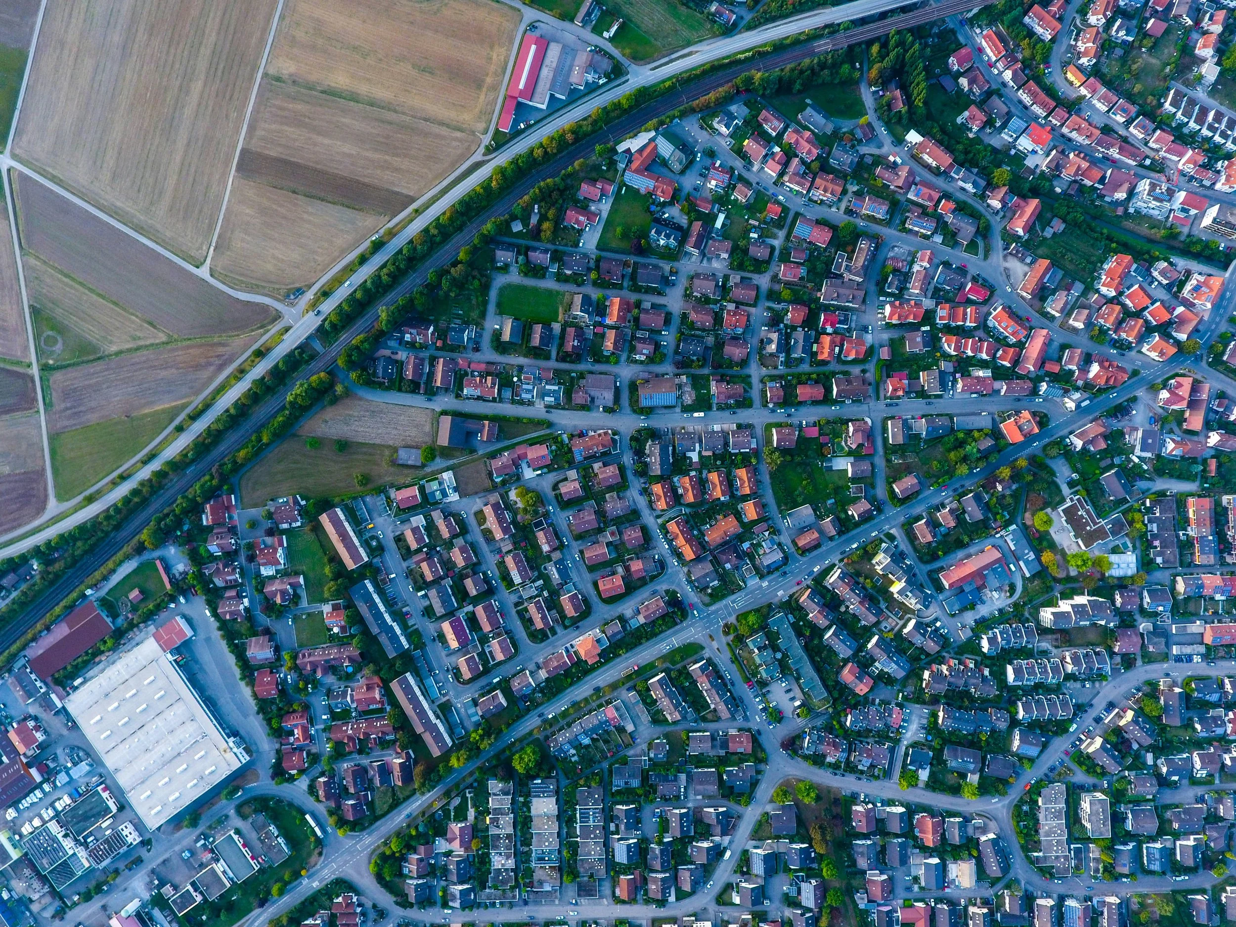
Fast, accurate Aerial Data
Landgazzer provides cost-effective, high-precision land surveying and mapping services for land acquisition, site development, real estate, construction projects, transportation infrastructure, and environmental assessments. Our experienced surveyors collaborate with government agencies, municipalities, commercial developers, healthcare institutions, and engineering firms to deliver tailored solutions that align with project requirements and community impact.
Our Services
-
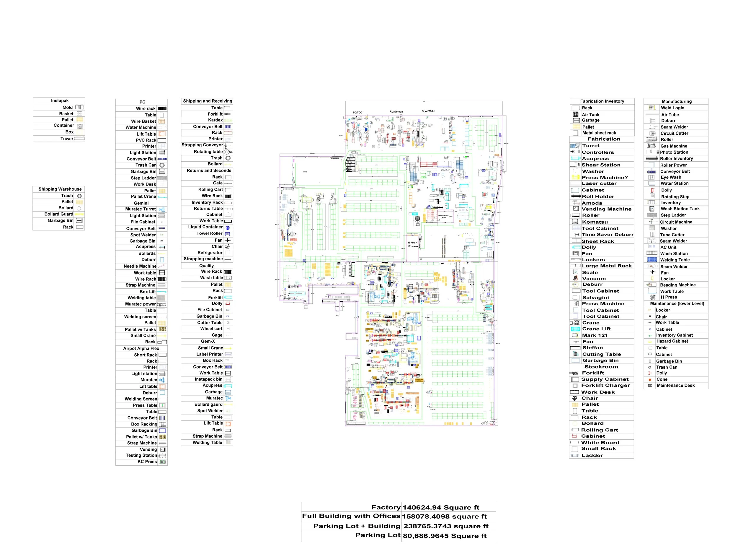
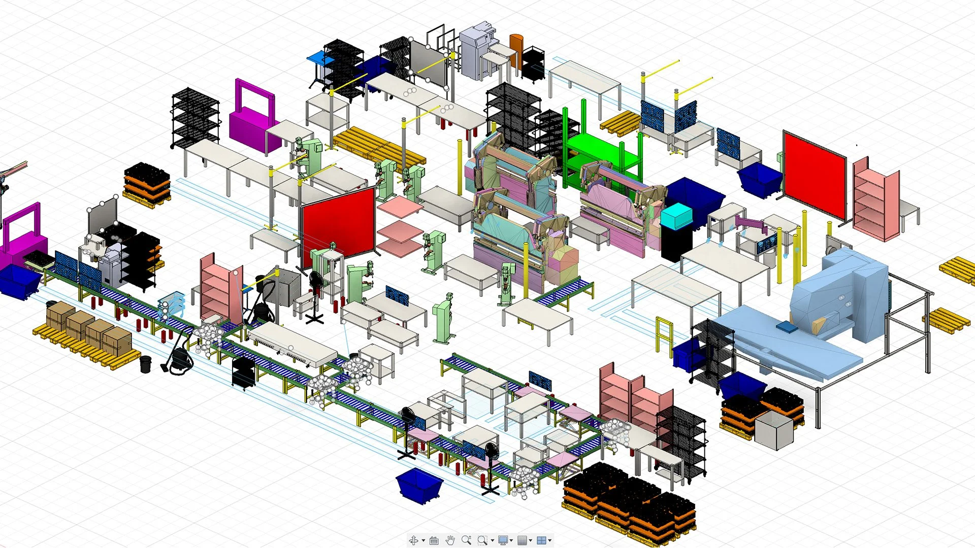
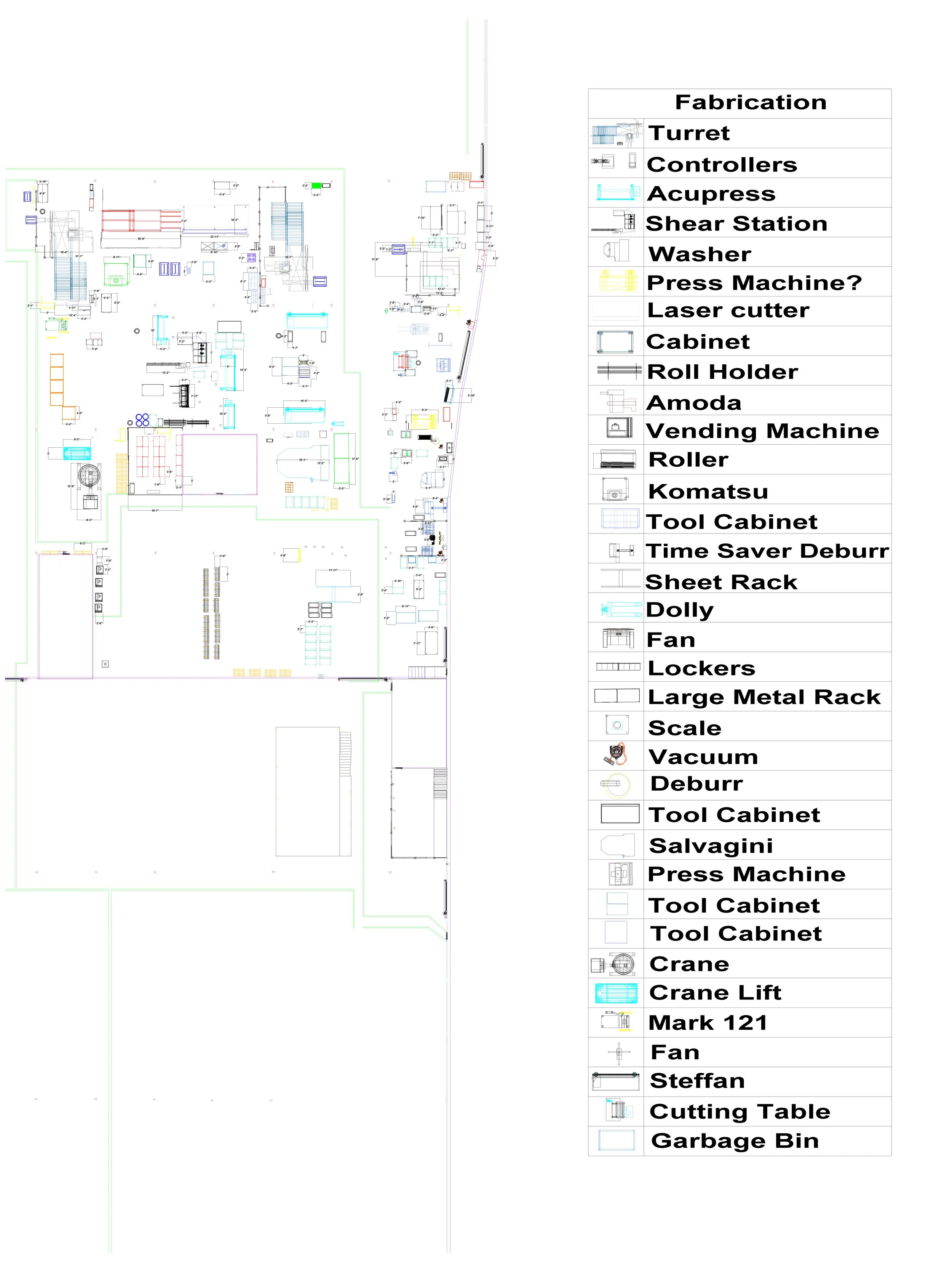
Engineering and BIM
Our Scan-to-BIM services involve using 3D laser scanning technology to capture accurate as-built data of a physical space, which is then converted into detailed Building Information Models (BIM) for design, construction, or renovation purposes. This streamlines the process of inspections and measurements from traditional methods.
-
Land Surveying and Agriculture
Our company uses Photogrammetry and LiDAR scanning to create Topographical maps and Digital Elevation Models (DEMs) for land surveying, urban planning, flood risk assessment, construction site analysis, environmental monitoring, and infrastructure development, visualize terrain features, elevation changes, and landscape details.
-
Construction
Our drone photogrammetry platforms offer the construction industry powerful tools for site analysis and project management, visual inspections, progress monitoring, and planning. Using LiDAR we can capture precise elevation data, even through vegetation or in low-light conditions, generating detailed topographical maps and Digital Elevation Models (DEMs). Together, these technologies improve site planning, ensure design accuracy, track construction progress, and optimize resource management, ultimately reducing costs and enhancing project efficiency.
-
Real Estate
Our method of using Drone LiDAr scanning increases the time of project completion by 90 percent. Our service can be used for site surveys and detailed property analysis, visualizing properties, virtual tours, planning developments, and marketing. LiDAR enhances this by providing highly accurate elevation data, which is essential for assessing land topography, grading, and potential development challenges. These technologies help real estate professionals make informed decisions on site suitability, optimize space planning, track construction progress, and showcase properties with detailed, immersive visuals, ultimately speeding up transactions and improving project outcomes.
View our deliverables
Visual insights from aerial data.

Our Deliverables

Georeferenced Orthomosaic maps
Topographic Maps
Elevation Maps/Profiles
Web Hosting for collaborative workflows
As Built Modeling
LiDAR mapping
1-3 Day turnaround
Semaless GIS and BIM platform integration
Volume Calculations
High Resolution 3D models
Site Analytics
Why LandGazzer?
In traditional methods, entire crews with tripods and cameras would scan large plots of land over the course of weeks to months in order to gather the proper data. Projects took unnecessary amounts of time just to acquire data.
Fortunately, we use Drones to gather accurate data in a FRACTION of the time, streamlining projects and saving companies money.

