
California Drone Field Scanning Services
Find Crop Problems Before They Cost You — Drone Field Scanning for California Farmers
Precision Agriculture Applications
-
Crop Monitoring and Health Analysis
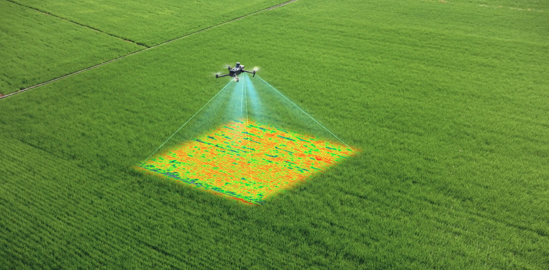
Our Drones are equipped with multispectral sensors to identify crop health issues, such as nutrient deficiencies or pest infestations, allowing for targeted interventions. This reduces wasted resources on blanket treatments and improves yield quality.
-
Field Mapping and Resource Management
High-resolution aerial maps provide detailed insights into field boundaries, soil conditions, and irrigation patterns. This helps farmers optimize planting strategies, irrigation schedules, and input application, saving water, fertilizers, and labor costs.

-
Crop Yield prediction
Before harvest, most farmers are guessing. We fly your fields and analyze vegetative stress patterns across every acre to give you an early yield estimate — broken down by zone. You'll know which areas are underperforming and why, while there's still time to act. No more surprises at harvest.

Key Deliverables
-

Planting and Harvesting Insights
Accurate data on growth stages, canopy coverage, and yield estimates, enabling farmers to plan planting and harvesting schedules effectively and reduce resource wastage.
-

Crip Yield Prediction Report
A field-wide yield estimate delivered before harvest, showing expected output by zone with underperforming areas flagged and ranked by severity. Know what your season looks like while you can still do something about it.
-

Detailed Crop Health Reports
High-resolution multispectral imagery analyzed to identify crop stress, pest infestations, and nutrient deficiencies. These reports help optimize resource allocation and improve crop yield efficiency.